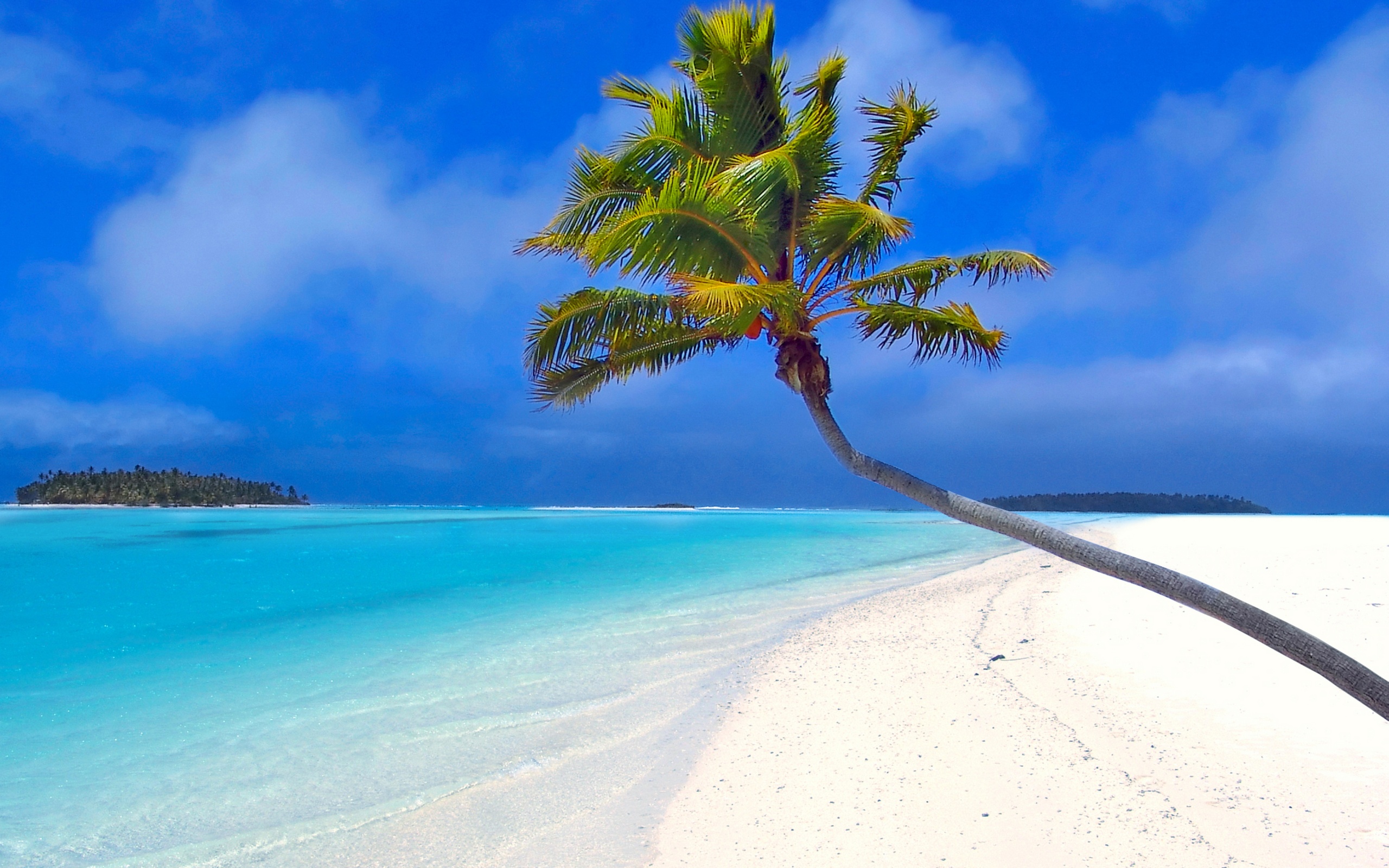
Hawaii Tsunami Flood Zones Areas and Maps
Maps for Hawaii Tsunami Flood Zone Areas Including Honolulu and Oahu The phenomenon we call a tsunami (soo-NAH-mee) is a series of waves of extremely long wave length and long period, generated in a body of water by an impulsive disturbance that displaces the water such as an earthquake, landslide, or sub-marine volcanic eruption. The.. read more →

Tsunami Warning in Effect All Islands LIST OF FLOOD ZONES
Magnitude 7.7 – QUEEN CHARLOTTE ISLANDS REGION Here is a list of flood zones and tsunami evacuation maps for Hawaii. 000 WEHW40 PHEB 280514 TSUHWX HIZ001>003-005>009-012>014-016>021-023>026-280714- /O.NEW.PHEB.TS.W.0001.121028T0509Z-000000T0000Z/ BULLETIN TSUNAMI MESSAGE NUMBER 3 NWS PACIFIC TSUNAMI WARNING CENTER EWA BEACH HI 709 PM HST SAT OCT 27 2012 TO – CIVIL DEFENSE IN THE STATE OF.. read more →
Hawaii Tsunami Oahu Flood Zones and Maps
Hawaii Tsunami Flood Zones Including Honolulu and Oahu To see an Oahu flood zone map based on where you are located, the best place to find Hawaii tsunami flood zones, is the Hawaii Flood Hazard Assessment Tool. You can drill down to your location using the magnifier, or you can enter a Hawaii TMK or.. read more →
TSUNAMI WARNING NOAA PRH NWS PACIFIC TSUNAMI WARNING CENTER
TSUNAMI WARNING NOAA PRH NWS HAWAII NAWILIWILI 22.0N 200.6E 1259Z 11 MAR HONOLULU 21.3N 202.1E 1313Z 11 MAR KAHULUI 20.9N 203.5E 1320Z 11 MAR BASED ON ALL AVAILABLE DATA A TSUNAMI MAY HAVE BEEN GENERATED BY THIS EARTHQUAKE THAT COULD BE DESTRUCTIVE ON COASTAL AREAS EVEN FAR FROM THE EPICENTER. AN INVESTIGATION IS UNDERWAY.. read more →